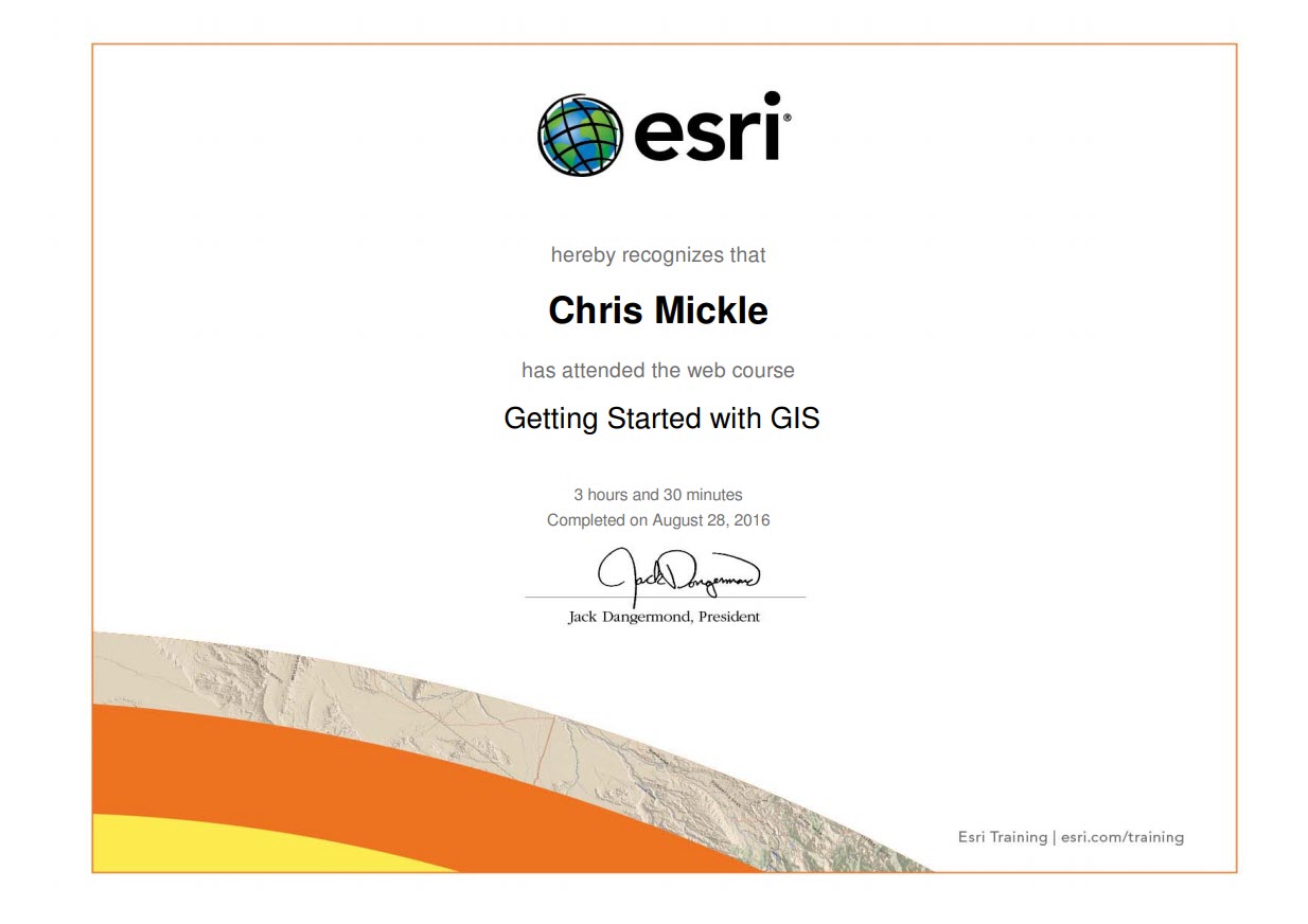
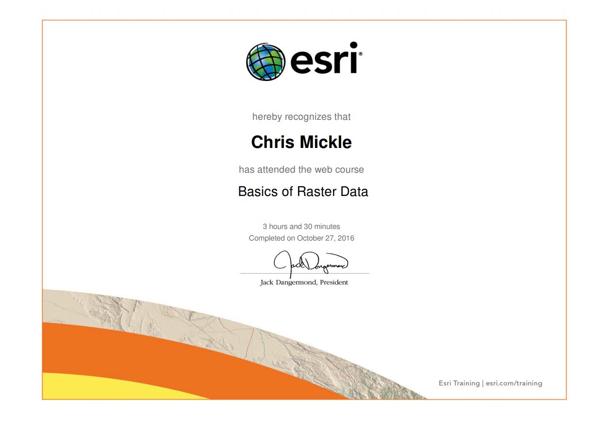
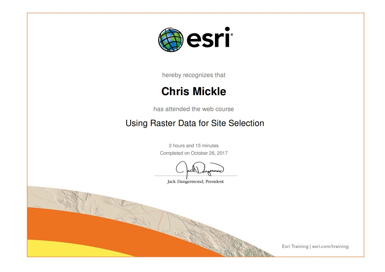
This page contains all of the esri ArcGIS training certificates obtained by Chris Mickle in chronological order.
Getting Started with GIS certificate obtained August 28, 2016.Map Design Fundamentals certificate obtained September 8, 2016.Referencing Data to Real-World Locations Using ArcGIS certificate obtained September 16, 2016.Building Models for GIS Analysis Using ArcGIS certificate obtained September 23, 2016.Solving Spatial Problems Using ArcGIS certificate obtained September 29, 2016.Getting Started with the Geodatabase certificate obtained October 8, 2016.Basics of Raster Data certificate obtained October 27, 2016.Performing Spatial Interpolation Using ArcGIS certificate obtained November 3, 2016.Exploring Spatial Patterns in Your Data Using ArcGIS certificate obtained November 10, 2016.Using Raster Data for Site Selection certificate obtained October 26, 2017.Classifying Imagery Using ArcGIS certificate obtained November 11, 2016.